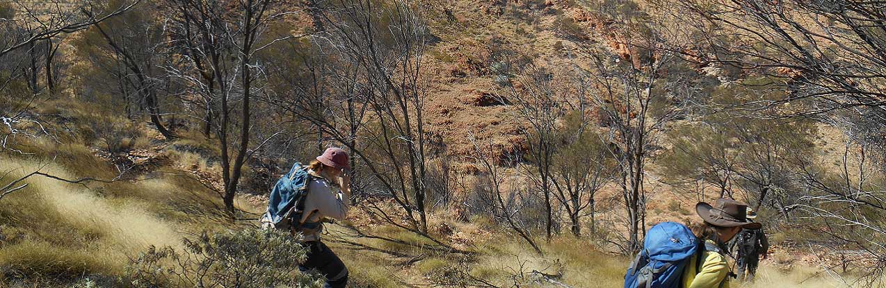
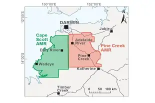
Territory's largest regional-scale geophysics program underway
NTGS commences two major airborne magnetic and radiometric surveys covering almost 47,000 km² to deliver modern, high-resolution geoscience data across the western Top End.
Record $4 million awarded in exploration grants
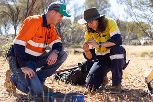
Round 19 of the Geophysics and Drilling Collaborations (GDC) program will support 34 projects from 26 companies to undertake drilling, geophysical and geochemical programs across the Northern Territory.
Critical Minerals and Gold guide available in Japanese, Korean and Indonesian
A complete guide to the Northern Territory's defined mineral resources and geological potential is fully translated in Indonesian, Japanese and Korean, and available to download.
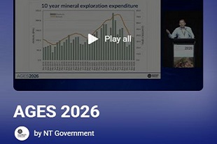
Watch the AGES 2026 video presentations
NTGS has released video presentations from the AGES 2026 conference, now available for online viewing. Watch NTGS, our research partners and industry present on the latest geoscience from across the Territory.

Minerals open-file geophysical data now downloadable via GEMIS
NTGS is changing the way we deliver large data. All geophysical datasets associated with open-file mineral exploration company reports are now readily downloadable via GEMIS, with more than 3TB being added in past month.

Missed AGES 2026? Download the Conference Proceedings now
Check out the NT Geological Survey's latest volume packed with new geoscience from across the Northern Territory. Download the Conference Proceedings, and Presentations and Posters.
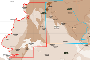
Three regional-scale geophysical surveys planned for 2026
NTGS will deliver the largest geophysical acquisition program ever undertaken in the NT, focused on completion of NT-wide 4km or less spaced ground gravity, and upgrading the magnetic and radiometric coverage of the NT.
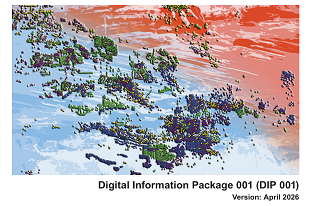
Significant new geochemistry data available in DIP001 update
Digital Information Package 001 (DIP 001) Northern Territory comprises all the latest geochemical and drilling datasets from across the Territory, with legacy data from more than 7,000 drillholes across Pine Creek added.

New compilation of geophysical data across Pine Creek
NTGS has released DIP046, a comprehensive compilation of all open file geophysical data covering the extent of the Pine Creek Orogen.
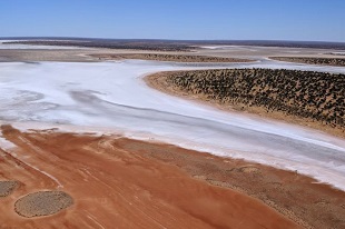
New release: Lake Amadeus 1:250 000 geological map series
NTGS has released second edition geological mapping and geochronological analyses refining the geology of a key portion of central Australia.