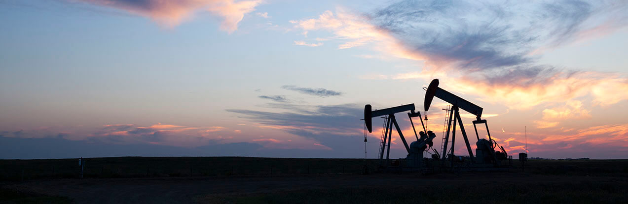
The currently producing Amadeus Basin contains the Northern Territory's largest reserves of conventional gas and oil.
Process
Conventional oil and gas is an accumulation of naturally occurring oil and/or gas that has migrated from a source rock into a geological trap containing a porous and permeable reservoir.
These petroleum systems are often termed 'conventional' as they can typically be extracted through traditional drilling methods as the oil and gas flows naturally to the surface. Conventional oil and gas accumulations have a relatively limited and localised extent in comparison with unconventional systems.
Prospectivity
Conventional oil and gas has been continually produced from the Amadeus Basin for more than four decades, and there is potential for other conventional accumulations related to at least five petroleum systems at different stratigraphic levels within the basin. To find out more about production from the Amadeus Basin, visit the webpage Production.
The McArthur Group of the McArthur Basin as well as the Bonaparte Basin have known conventional oil and gas accumulations and are at advanced stages of exploration. To find out about conventional oil and gas contingent and prospective resources, visit the webpage Resources.
The Pedirka Basin is a time correlative of the Cooper Basin and has demonstrated source rock potential and petroleum systems (see Jarrett and Doig 2023). The Georgina Basin also contain demonstrated conventional petroleum systems, but both the Pedirka and Georgina Basin remain largely underexplored by world standards.
Petroleum regulation is administered by the Department of Mining and Energy. All tenure information and regulatory requirements can be found on the NT Government website.
View the distribution of petroleum wells and seismic lines and download attributed spatial data across the Territory's onshore basins through the Northern Territory Geological Survey's (NTGS) online web mapping system STRIKE.