The Geophysics and Drilling Collaborations program has been funded continuously through Northern Territory Government initiatives since 2008.
The program continues to meet its primary aim of contributing geological information to areas where there is a paucity of knowledge and data.
Data collected from 201 programs from round 1 to 17 includes:
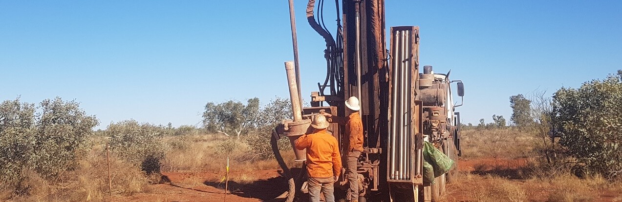
112 drilling programs for 534 drill holes totalling more than 95,000 metres
89 geophysics programs including:
~400,000 line km of magnetics and radiometrics (33 surveys)
~40,000 ground gravity stations and >6,000 line km of airborne gravity gradiometry (25 surveys)
~335,000 line km of AEM (34 surveys)
~59 km of 2D reflection seismic (3 surveys)
~635 passive seismic stations (4 surveys)
591 magnetotelluric stations (126 line km) (4 surveys)
smaller scale surveys including 2D and 3D induced polarisation and sub audio magnetics
Please use the map below to view all of the previous successful geophysics and drilling projects (round 1 to 17) with links to the open file final reports and data.