Applications for exploration grants closing soon
Applications for round 18 of the Geophysics and Drilling Collaborations program are closing 5pm ACST Monday 28th April. Apply now through GRANTSNT!
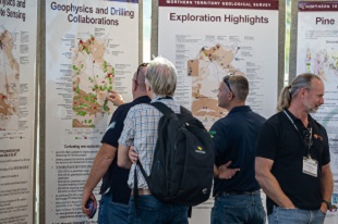
AGES 2025 Conference Proceedings are available to download
Could not make it to AGES 2025? Download the Conference Proceedings for all the latest geoscience from industry, our partners and NTGS.
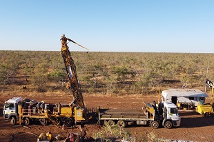
New OPEN FILE reports and data available from recent co-funded projects
Check out the latest results and data from completed projects under round 17 co-funded Geophysics and Drilling Collaborations program.
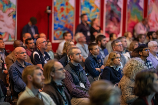
Less than three weeks till AGES 2025
AGES 2025 will be held on 8-9 April 2025 in Alice Springs. Whether you are already exploring in the Territory or looking for new opportunities to get involved in the Territory's exploration sector, AGES is not to be missed!
NT critical minerals guide 2025 release
The updated guide includes the latest resource inventory and emerging potential for the Territory's critical minerals.
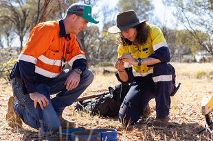
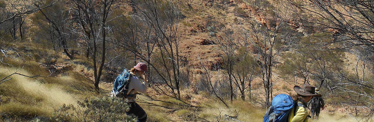
Exploration grants available to support new geoscience in the Territory
Round 18 of the Geophysics and Drilling Collaborations program is now open for applications through GrantsNT. Check out whether your exploration plans may be eligible.
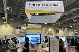
NTGS promoting opportunities in the Territory at PDAC
NTGS will be attending Prospectors and Developers Convention of Canada (PDAC) on 2-5 March showcasing Northern Territory opportunities at the world's largest mining conference.
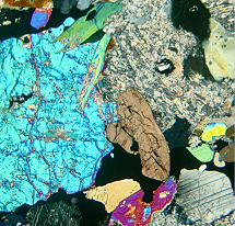
Characterising the stratigraphy of the Pine Creek Orogen
A new NTGS record is available providing detailed petrographic descriptions of key samples from the Pine Creek Orogen
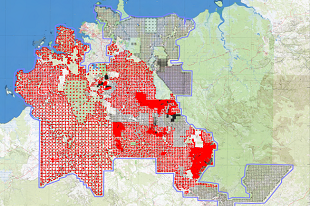
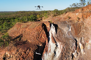
Enhanced gravity coverage boosts exploration potential in the Pine Creek region
NTGS is progressively releasing preliminary ground gravity data for the NTGS Pine Creek Ground Gravity Survey. The survey covers 40 000 km2 of highly prospective polymetallic terrain.
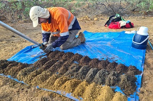
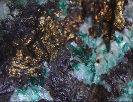
Assessing secondary prospectivity in the polymetallic Pine Creek region
A new mine waste characterisation study at the Cosmo mine site, undertaken in partnership with University of Queensland's Sustainable Minerals Institute, provides insights on previously untested critical minerals and potential methods for recovery.