


AGES 2022 dates announced
Annual Geoscience Exploration Seminar (AGES) will be held in Alice Springs on 5-6 April 2022.
Newly compiled petroleum geoscience data from onshore basins in southeast NT
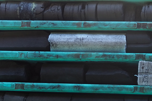
NTGS has released DIP034: Petroleum geoscience data from the Warburton, Pedirka and Eromanga basins.
New conductivity data from reprocessed historical AEM: CSIRO NTGS McArthur Basin Project
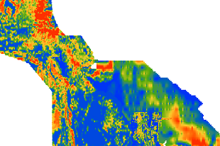
NTGS has released DIP033: CSIRO-NTGS McArthur Basin Project: analysis and interpretation of historical AEM data sets.
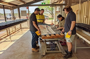
MinEx CRC National Drilling Initiative Carrara 1 drillhole is open file
Following the NDI Carrara 1 core viewing session at the NTGS Darwin Core Facility, the drill core is now open file. Geoscience Australia has released a poster of highlights and a summary of the analyses planned and undertaken so far.
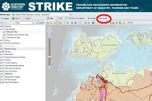
STRIKE’s new user guide
An inbuilt user guide is now available within the STRIKE web-mapping application.
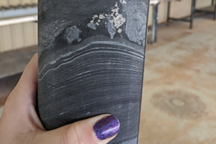
MinEx CRC Carrara 1 drillhole available for viewing only on Tuesday August 31
Bookings are essential by contacting the NTGS Manager Core Facilities, Darwin.
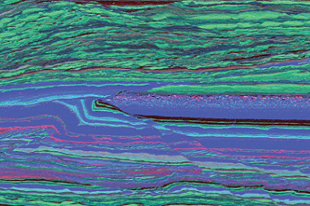
NTGS releases CSIRO-NTGS McArthur Basin Project
The study presents new geological constraints on the factors and processes controlling sediment-hosted base metal mineralisation in the southern McArthur Basin.
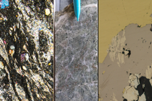
Three NTGS records released on the geology of the Rover field, Warramunga Province
Detailed logging, petrological studies and geochronology provide a better geological framework of the undercover Rover field and its relationship with the Tennant Creek mineral field.
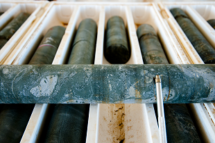
Release of legacy exploration data: Walhallow 1:250k map sheet
The ongoing program to capture all legacy open-file exploration drilling and geochemistry data across the Territory, continues with the release of data from the Walhallow map sheet.
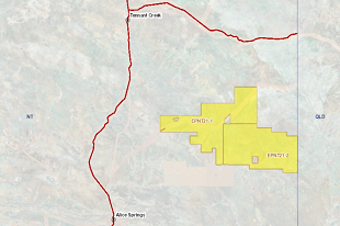
New acreage release for oil and gas exploration
The area covers 30,780 square kilometres or 392 full and part blocks over some of the most prospective areas of the southern part of the Georgina Basin.