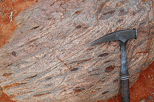
The Jervois Range 1:100 000 mapsheet, northeast of Alice Springs, includes the Territory's largest known copper resources in the Jervois mineral field. NTGS have completed new generation geoscience mapping of the area, that has resulted in a substantially revised geological framework for the Palaeoproterozoic Aileron Province in the area.
Products include a new 1:100,000 scale geological map, GIS dataset, exploratory notes and and associated NTGS Record Structural evolution of basement and basin rocks in the Jervois Range.
Download the map here.
Download the explanatory notes here.
Download the news NTGS record Structural evolution of basement and basin rocks in the Jervois Range Special here.


