The NTGS Tanami Region Airborne Magnetic, Radiometric and Elevation Survey can now be requested for download. The survey was flown in 2018 and covers more than 42,000km2 extending from the West Australian border to approximately 300km west of Tennant Creek.
The Tanami Region is host to the world-class Callie gold mine yet is relatively under-explored. The region is emerging as a premier gold exploration destination and the new data will play a crucial role in understanding geology below the surface. More than 240,000 line km were acquired at 200 m line spacing. Industry partners funded an additional 30,000 line km of infill data at 100m spacing.
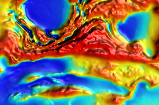
This new data significantly improves the quality and resolution of the pre-existing geophysical data in the area.