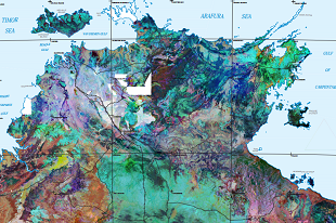
Geophysical data is widely recognised as an important tool for mapping, resource exploration and land management. Geophysical grids allow users to get more from the geophysical data than map or image products.
Grids have been published in ER Mapper format which is consumable by most software. These grid products will allow users with the appropriate software to customise the geophysical imagery, generate derivative products or model the data.
Download the NT wide gravity grid, magnetic grid and radiometric grid.