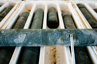
Release of legacy exploration data: Walhallow 1:250k map sheet
The ongoing program to capture all legacy open-file exploration drilling and geochemistry data across the Territory, continues with the release of data from the Walhallow map sheet.
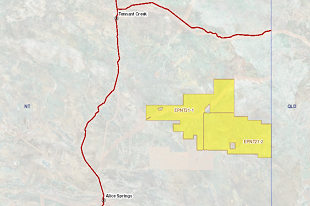
New acreage release for oil and gas exploration
The area covers 30,780 square kilometres or 392 full and part blocks over some of the most prospective areas of the southern part of the Georgina Basin.
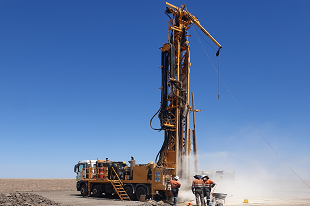
NTGS releases processed HyLogger data for Carrara 1
The 1,750 metre Carrara 1 hole was drilled under the National Drilling Initiative (NDI) South Nicholson campaign.
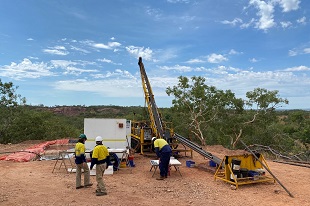
Exploration grants announced for the Geophysics and Drilling Collaborations program
Eighteen projects from fifteen companies have been awarded co-funding for round 14.
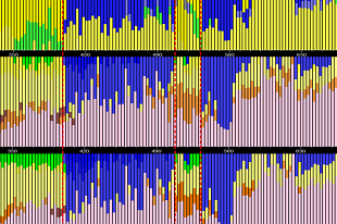
NTGS releases interpreted hyperspectral data from the National Drilling Initiative East Tennant campaign
HyLogger data reports are now available for drillholes NDIBK07 and NDIBK10.
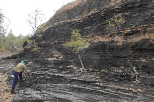
Significant increase in available data on shale units of the greater McArthur Basin
NTGS releases an updated DIP014 with a 25% overall increase in the number of analysed samples.
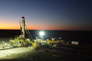
Preliminary findings support resource potential of the South Nicholson Basin
The first data from the National Drilling Initiative’s Carrara 1 deep stratigraphic drill hole is now available through the MinEx CRC and Geoscience Australia portals.
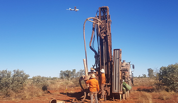
Explorations grants close in less than one week
The Geophysics and Drilling Collaborations program co-funds exploration in under-explored areas of the Territory. Applications for round 14 close on Tuesday 4th May. Apply now through GrantsNT.

Resourcing the Territory initiative to be expanded and made ongoing
The Northern Territory Government has committed record funding to support more exploration to drive resource development. Annual funding of the Resourcing the Territory initiative will increase from $6.5 million to $9.5 million from 1 July 2022, with funding to be ongoing.
Latest release of Territory-wide geochemical datasets
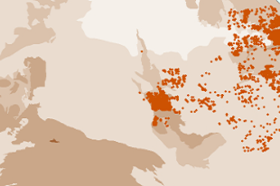
NTGS releases an updated DIP001 including the newly captured complete datasets of drillhole collars and geochemical data over the Tennant Creek field and Barkly region.


