NTGS have undertaken a range of field-based programs during 2021, after most fieldwork needed to be cancelled in 2020 due to COVID-19 related restrictions. This fieldwork has progressed a number of programs under the Resourcing the Territory initiative.
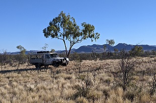
As part of the commitment to stimulate greenfields exploration in central Australia, the Basement Geoscience team completed mapping of the Huckitta 1:250 000 map sheet, in the Harts Range area. There was also a program of sampling and mapping around the Home of Bullion copper deposit in the northern Aileron Province near Barrow Creek, as part of a broader program to understand copper-bearing mineral systems in the Aileron Province.
Revised geological mapping of the Amadeus Basin south of Alice Springs continues to progress, with the commencement of mapping on the Rodinga 1:250 000 map sheet. Mapping has been completed on the Henbury, Lake Amadeus and Bloods Range mapsheets, which is leading to a much improved stratigraphic and structural framework for the Neoproterozoic succession in the basin.
As part of NTGS’s long-term commitment to establishing a consistent stratigraphic framework across the greater McArthur Basin, the Basin Geoscience team completed mapping of Proterozic outcrop of the Tomkinson Province in the Newcastle Waters and Beetaloo 1: 250 000 map sheets in the Barkly region of the NT.
Visit our geoscience projects webpage for more projects funded under Resourcing the Territory.
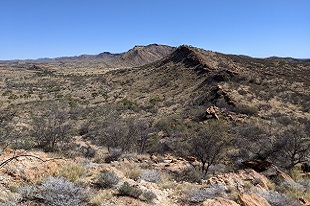
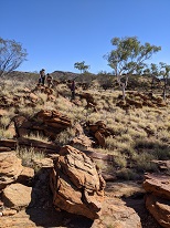
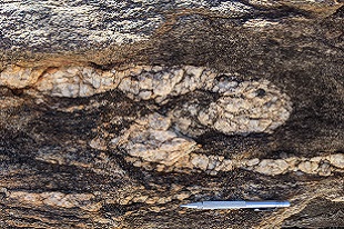
Photo credits: NTGS geologist, 1: 250 000 Huckitta map sheet.