A major program of the Resourcing the Territory initiative is to capture all remaining legacy open-file exploration drilling and geochemistry data across the Northern Territory.
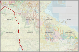
The latest release of legacy drilling and geochemistry digitally captures data from 131 company reports from across the Bauhinia Downs & Robinson River 1:250k map sheets, covering the southern McArthur Basin. This data includes 2,272 drillhole collars, with 17,256 down-hole samples with geochemical results. A further 17,021 surface samples and associated geochemical assays have been captured and spatially geolocated. Surface sampling includes stream sediment, soil and rock chip samples.
Since the Resourcing the Territory initiative commenced, legacy data has been captured from 3,098 company reports, with 118,708 drillhole collars, 546,685 drillhole samples and 251,226 surface geochemical samples added to the Northern Territory Geological Survey (NTGS) Drilling and Geochemistry database.
NT Surface Sample Geochemistry and Drillhole Locations are provided for download in MapInfo tab, KML, ESRI shapefile and csv file formats from the STRIKE website.