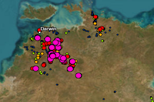
NTGS' latest release of Northern Territory Drilling and Geochemical Datasets (DIP001) features the following significant changes:
- Standardised Units of Measure: Sample type datasets are now reported to common units of measure and more appropriate suites of elements/analytes.
- Removal of Null Values: Null placeholders, previously represented by -9999, have been removed from CSV files and ArcGIS features, ensuring cleaner and more interpretable data.
- Comprehensive Raw Data: Full ‘raw’ geochemical data, including assay repeats and less commonly analysed elements, in as-reported units, are now available directly from the NTGS database. The data is exported, organised on a report basis for each sample type.
- Enhanced Metadata: Details about laboratory methods, analysis techniques, and detection limits (where available) are now included, alongside a data dictionary that explains sample methods, laboratory codes, generic lab methods, analytes, and units of measure.
- Drillhole Maximum Assays: NTGS includes a brand-new feature dataset highlighting the highest assay reported for each element over the sampled length of drillholes, enabling faster identification of anomalous holes. This feature will be added to STRIKE in the coming months delivering, for the first time, an indication of significant downhole geochemical results from drilling samples.
Download DIP001 through GEMIS,
Queries regarding the changes to DIP001 or to report data errors, please contact geoscience.info@nt.gov.au. NTGS is committed to continuously improving its delivery of FAIR* data to its customers.
* Findable, accessible, interoperable, reusable - FAIR guiding principles


