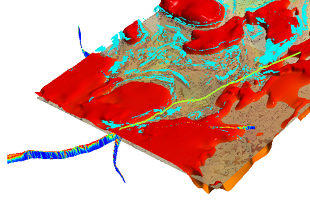
DIP 043 is a 3D compilation of open-file geoscientific data for the Birrindudu Basin and its surrounds, which forms the western component of the greater McArthur Basin, Northern Territory. This compilation collates and synthesises much of the available downhole and regional geoscientific data for this frontier area into a pre-packaged 3D visualisation tool for explorers. Compiled data includes available surface and subsurface geochemistry, geophysics, geology, geochronology, SEEBASE interpretation, major structures, petrophysics and hyperspectral. The compilation encompasses 1D, 2D and 3D geoscientific datasets, accompanied by some pre-published interpretive elements.
It is available to download via GEMIS.