NTGS has released the first legacy exploration data from the Pine Creek region, as part of Resourcing the Territory's ongoing data capture and release program. The total legacy exploration data released now includes more than 126,000 drillhole collars, 629,000 drill hole samples and 314,000 surface geochemical samples from across the Tennant Creek, Barkly, Gulf and Pine Creek regions.
The latest release comprises legacy drilling and geochemistry geolocated data digitally captured from 326 company reports from the Fergusson River 1:250k map sheet, south of the township of Pine Creek and west of Katherine. This data includes 3,103 drill hole collars, with 48,925 down-hole samples with geochemical results. A further 45,566 surface samples (stream sediment, soil and rock chip) including associated geochemical assays have also been captured.
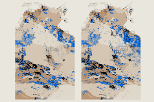
The captured data is providing explorers with immediate access to a complete and spatially located dataset of all historic drilling and geochemistry in the area. This is an important pre-competitive dataset to allow industry to rapidly assess and interpret past exploration in the area. With the first phase of data capture across the Tennant Creek, Barkly and Gulf regions now complete, the program is moving into the Pine Creek region.
NT surface sample geochemistry and drillhole locations are provided for download in MapInfo tab, KML, ESRI shapefile and csv file formats from the STRIKE website or download the latest release of DIP001: Northern Territory geochemical datasets.